Worth remembering
- The Grande-Riviere-Sud-Est waterfall sits at the source of the river, reached by sea or through the sugarcane fields.[1]
- Lion Mountain's silhouette resembles a lion lying down, its head turned toward the island and its tail to the sea.[2]
- The private seaplane flight over the east coast is listed at 15 - 30 minutes, from US$254.[3]
- Ile aux Cerfs is an 87-hectare island off the east coast, known for white beaches and turquoise lagoons.[4]
- Seaplane passengers must be at least 15 years old and weigh no more than 100 kilograms.[5]
- Top choice Private east coast seaplane from US$254 Duration15 - 30 minutes[3]GroupPrivate group[3]CancellationCancel up to 24 hours ahead[3]Rating4.22 from 128 reviews[3] Check availability
- Speedboat to Ile aux Cerfs from US$144 Duration7 hours[6]GroupPrivate or small groups available[6]CancellationCancel up to 24 hours ahead[6]Rating4.77 from 452 reviews[6] See this tour
- Scenic helicopter flight from US$860 Duration3 hours[7]GroupLimited to 6 participants[7]CancellationCancel up to 24 hours ahead[7]Rating4.60 from 98 reviews[7] See this tour
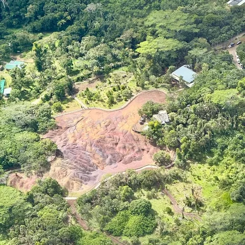
Trek to Lion Mountain, whose striking silhouette resembles a lion lying down with its head turned toward the island and its tail facing the sea. This historically significant site is the only witness left of the Battle of Grand Port fought between the French and the English.
Is the east coast seaplane worth it?
Things to check
On the day
- Morning light over the lagoon is soft and even, which suits photographs from the air.
- Minimum age 15, maximum weight 100 kilograms.[5]
- The official cyclone season runs from 15 November to 15 May.[8]
- Belle Mare is named among the stops on the listing.[3]
The river mouth at Grande Riviere Sud Est
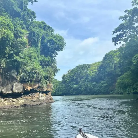
The east coast of Mauritius is a long arc of lagoon and reef, and one river cuts straight through it. The Grande-Riviere-Sud-Est runs down through sugarcane country to the sea near the village that carries its name. The waterfall sits at the source of the river, and you can reach it by sea or by walking up through the cane fields.[1] From the water it shows as a white thread against dark rock. From the air you see the whole picture: the green gorge above, the river below, and the pale spread of fresh water pushing out across the lagoon.
Sea level and altitude tell two very different stories here. Close in, the rock is wet and dark, the air feels cool, and the freshwater plume curls around the boat. Higher up, the coast reads as a chain of bays, reefs and villages, with the river mouth as the obvious hinge between one bay and the next. A seaplane pass links the two views in a few minutes, and the river makes a natural anchor for the route.
Timing the flight is mostly about light. Early in the day the lagoon is smooth and the colours are soft; later on the water is bright enough to pick out the coral heads below. The window of a small aircraft is not huge, so it pays to have your camera ready before you climb in rather than halfway through the turn.
Why the river matters to the flight
On the east coast, the waterfall is the one landmark that works from every angle. Boats use the gap in the cliffs to fix their position along an otherwise uniform shoreline. Drivers on the coastal road know the bridge and the bend before it. From above, the river draws a clear line from the cane fields down to the reef, which makes it an easy reference point on a coast that is otherwise all green and blue.
Boat tours work the same stretch of water. The full-day speedboat trip to Ile aux Cerfs, whose listing names a barbecue lunch, stops at Grand River South East Waterfall before carrying on along the coast, from US$144, and the listing gives a duration of 7 hours.[6] A seaplane covers the same coast from the air, with the listing giving a flight time of 15 - 30 minutes.[3] Which one suits you comes down to whether you want a full day on the water or one sharp look at the shape of the coastline.
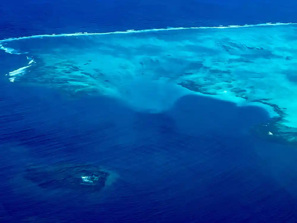
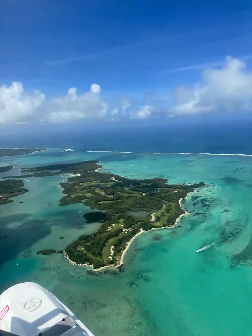
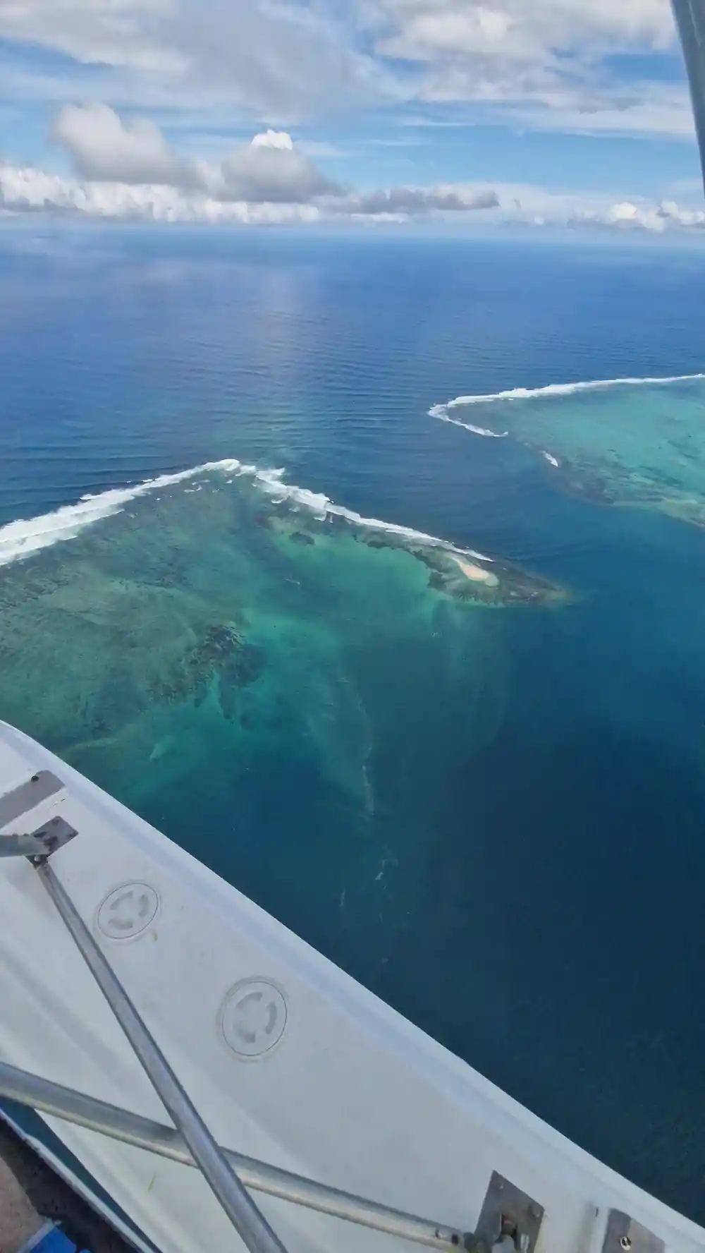
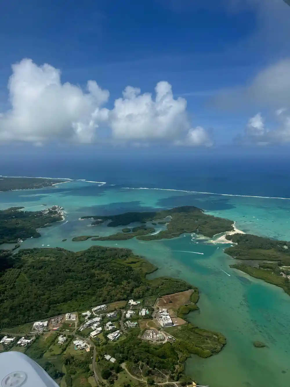
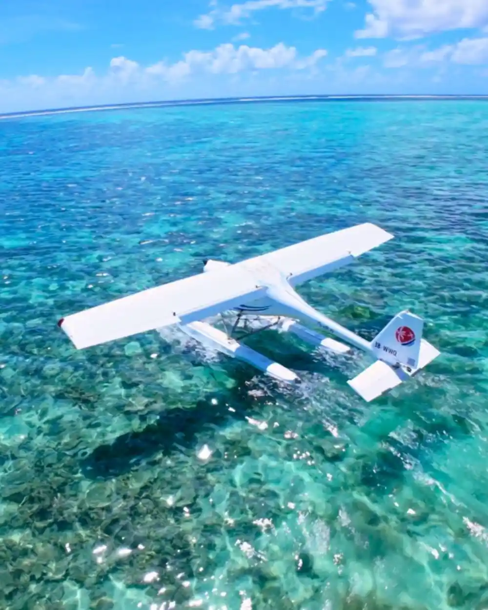
The east coast lagoon, seen from a seaplane window over the reef.
Lion Mountain, shape and story
Lion Mountain looks like its name. The silhouette is said to resemble a lion lying down, with its head turned toward the island and its tail facing the sea.[2] It is a historically significant site, and it is the only witness left of the Battle of Grand Port, fought between the French and the English.[2] From the water the ridge reads as a shoulder of dark rock; from the air the animal shape appears in a single glance.
Lion Mountain in Mauritius stands above the southeast coast, near the old harbour at Grand Port. It is a walking landmark as well as a flying one: a lion mountain hike mauritius guides run takes you up the ridge on foot, hot and steep, and gives you the same coast from the other direction. Check the Lion Mountain Mauritius height before you commit, and set off early if you go.
Seen from a seaplane, the mountain is the calmest thing on the coast. It sits over the bay at Grand Port as a fixed point on a shoreline that has changed a great deal around it. That stillness is what makes it worth a look from above rather than only from the road.
The coast between the two landmarks
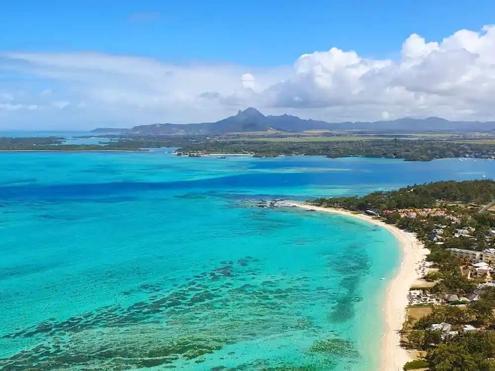
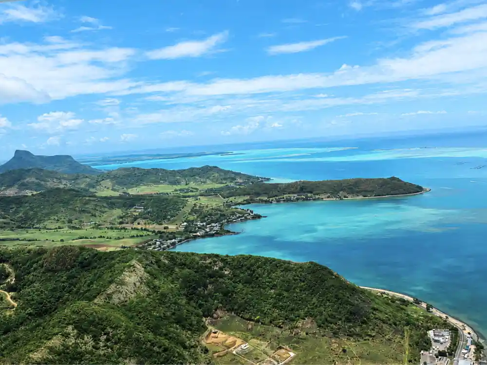
Between the river mouth and Lion Mountain the coast is a sequence of small bays, cane fields and villages, with the reef holding the swell a long way offshore. The lagoon in between is wide and shallow, shading from pale sand to deeper blue where the channels cut through. From the air you can follow the whole chain in one turn: the white surf line on the reef, the green cane behind the beach, and the dark shapes of the mountains further inland.
Belle Mare sits on this stretch. It is a beach where the One&Only Le Saint Geran resort is set,[9] and Belle Mare is named among the stops on the seaplane listing.[3] The coast road runs just behind the sand, and the beach itself is a long, pale curve that shows up clearly from the air.
The lagoon between the river and the mountain is shallow enough in places to read the bottom from above. Pools of pale sand sit between darker patches of seagrass, and the channels where water moves in and out of the reef are the deepest blue on the whole coast.
from US$254
A private seaplane flight along the east coast, listed from US$254, with Belle Mare among the stops.[3]
Seeing them from the air
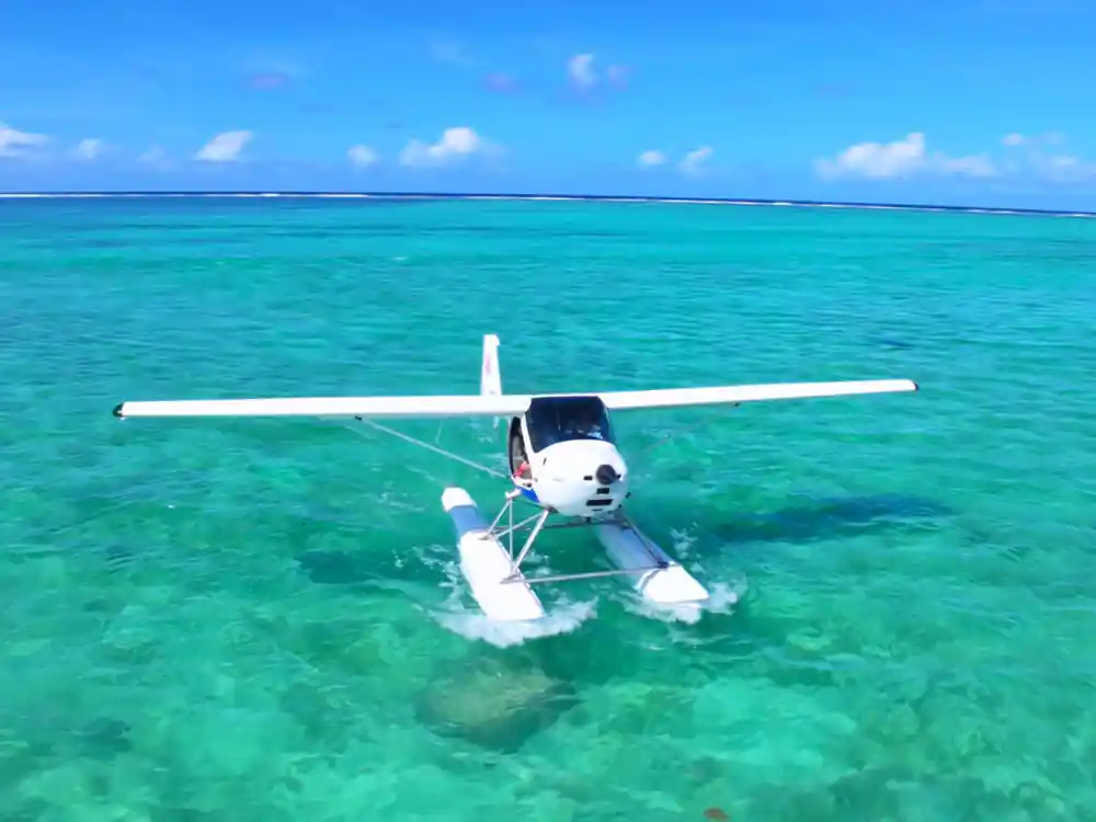
The flight is short, and that is the appeal. The East Coast Mauritius Private Scenic Seaplane Tour is listed at 15 - 30 minutes for a private group, and the crew languages are given as English and French.[3] You get a water take-off, a low pass over the lagoon and the cane fields, then a landing back on the sea.
Helicopters cover similar ground from a different height. There is a scenic helicopter flight with hotel transfers, from US$860, limited to 6 participants.[7] Mauritius helicopter tours also include a quick fifteen-minute ride that starts at roughly 8,500 MUR per person.[10] The choice comes down to whether you want to land on water or to watch the coast from higher up.
Whichever you pick, ask about the route before you go. A short flight covers a surprising amount of coast, and it helps to know which side of the aircraft the waterfall and the mountain will appear on so that you are not turning around in your seat to find them.
Ile aux Cerfs and the lagoon below
Ile aux Cerfs is the island you see from the boat decks along this coast, and it shows its shape best from the air. It is a picturesque 87-hectare island off the east coast of Mauritius, known for white sandy beaches, turquoise lagoons, restaurants, water sports and land activities.[4] From above you see the whole outline at once: the pale sand, the green fairways cutting across the middle, and the deep blue channels between the reef and the island.
Mauritius also has an illusion that only works from height. The underwater waterfall is found to the southwest of the island, offshore of Le Morne Peninsula, on the far side of the country from this east coast route.[11] From a seaplane over the east coast you are looking at the real thing instead: a living lagoon, a working reef and a river pushing fresh water into the sea.
A seaplane is a good way to see the east coast because the water is the runway. There is no long transfer to an airfield, no terminal and no queue, and the flight begins and ends on the lagoon itself.
Planning the seaplane flight
Two limits decide whether you can fly. Seaplane passengers must be at least 15 years old and weigh no more than 100 kilograms.[5] On the operator side, LagoonFLIGHT's daily seaplane tours in Mauritius depart from La Prairie beach,[12] so a seaplane morning can start on the sand rather than at an airport terminal.
Weather shapes the calendar here. The official cyclone season in Mauritius runs from 15 November to 15 May.[8] The listing is flexible: reserve now and pay later, with free cancellation up to 24 hours in advance.[3] Prices start at US$254 for the private flight, and Belle Mare is named among the stops.[3]
How many travellers reviewed each tour
Review counts from the GetYourGuide listings:[3],[6],[7],[13].
What the seaplane and its neighbours cost
From-prices shown by the GetYourGuide listings[3][6][7].
When to fly over the east coast
Plan your seaplane flight
Check the rules
Seaplane passengers must be at least 15 years old and weigh no more than 100 kilograms.[5]
Pick your window
The flight is listed at 15 - 30 minutes.[3] Choose a slot that suits your camera and your schedule.
Know the departure point
LagoonFLIGHT's daily seaplane tours in Mauritius depart from La Prairie beach.[12]
Pack light
A small aircraft leaves little room for bags. A hat, sunglasses, water and a camera are plenty.
Watch the season
The official cyclone season in Mauritius runs from 15 November to 15 May.[8] Keep a spare morning free if you can.
Check the booking terms
The listing lets you reserve now and pay later, with free cancellation up to 24 hours in advance.[3]
See the waterfall and Lion Mountain from a seaplane window
from US$254Reserve now & pay later