Worth remembering
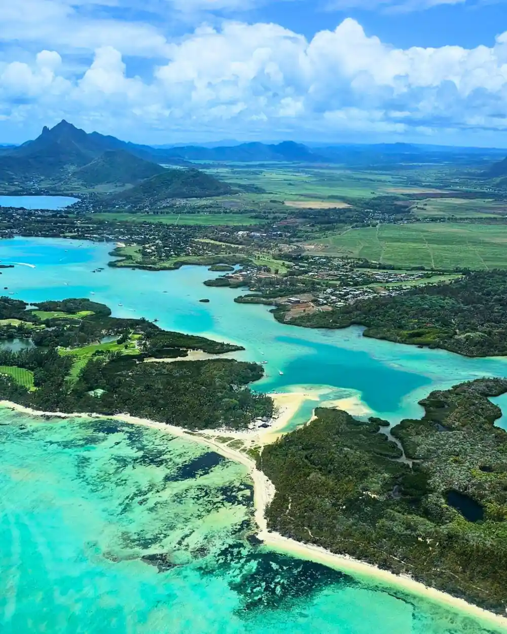
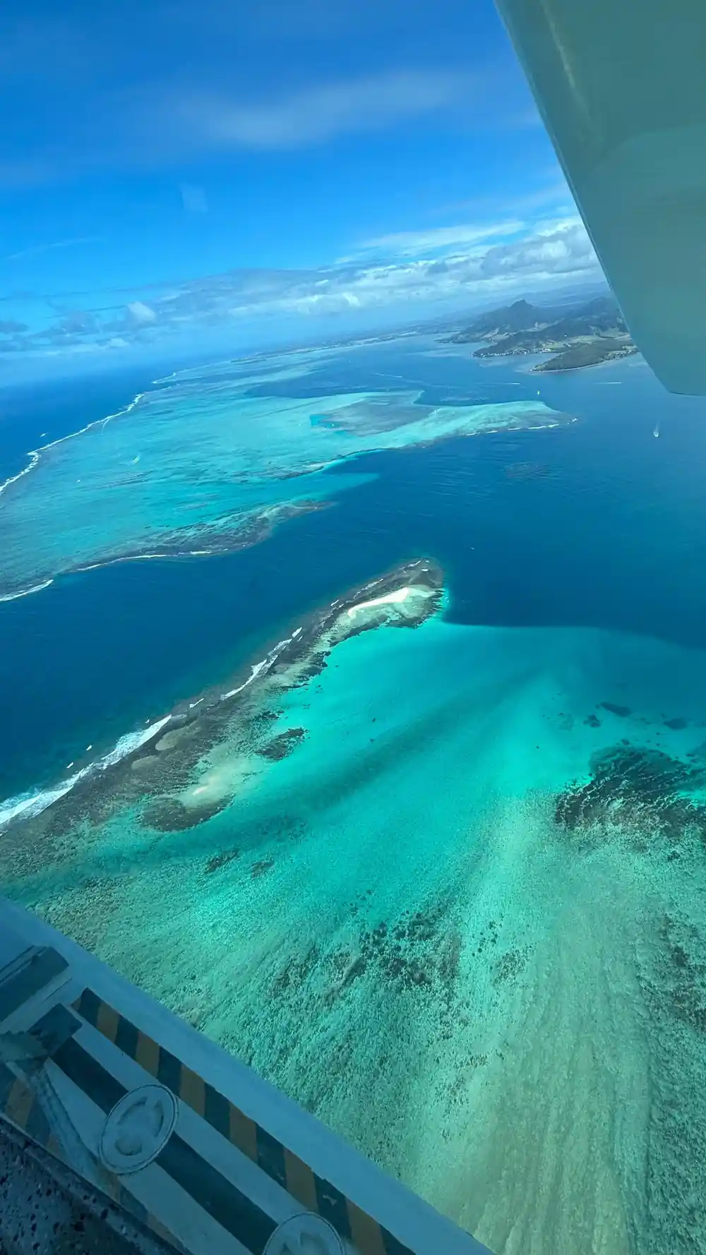
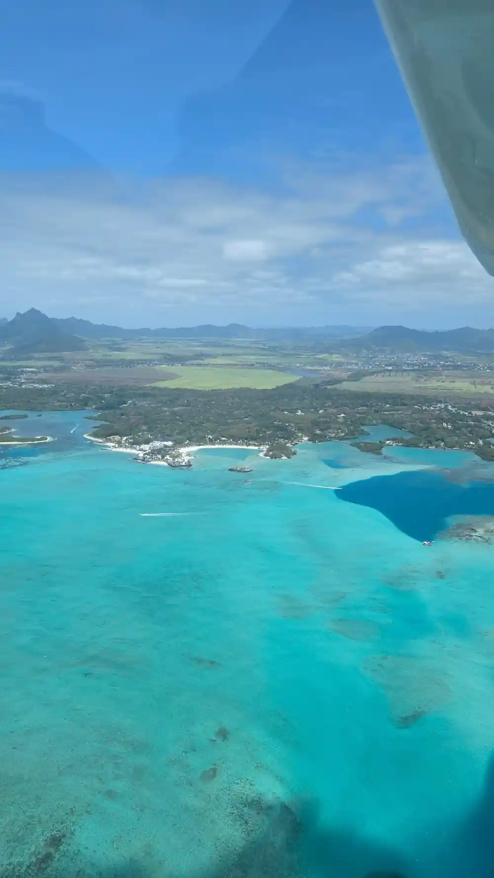
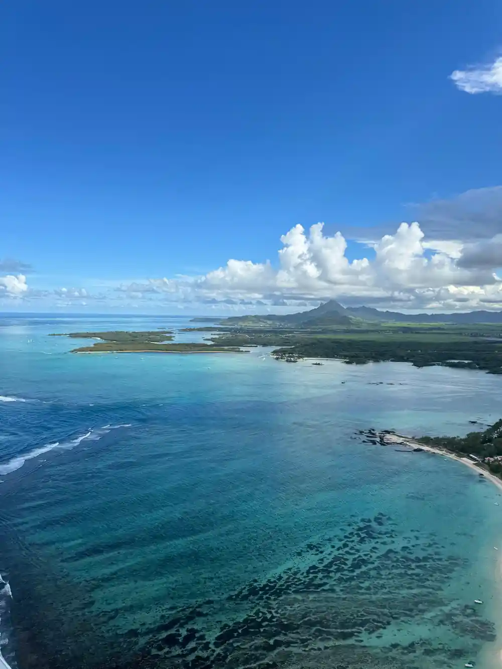
- Turquoise over pale sand, deep navy over channels and reef cuts. From the air the lagoon reads like a colour chart.
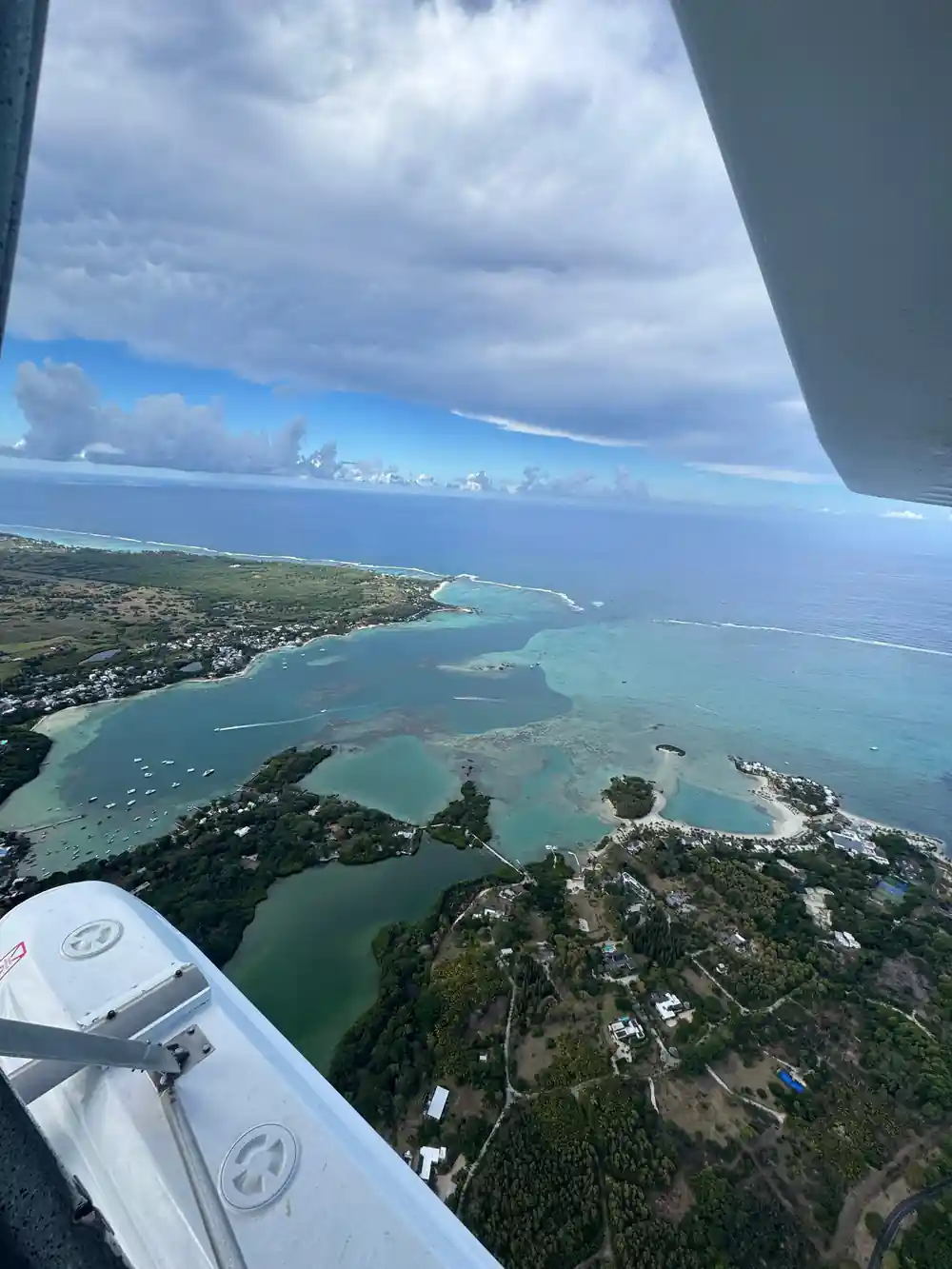
- Roches Noires, Palmar and Belle Mare sit along the same east coast lagoon, with the reef line running offshore.
- East Coast Mauritius Private Scenic Seaplane Tour, from US$254 and rated 4.22 from 128 reviews.[1]
- Duration 15 - 30 minutes, private group, with free cancellation up to 24 hours in advance.[1]
- Seaplane passengers must be at least 15 years old and weigh no more than 100 kilograms.[2]
- Top choice East Coast Seaplane from US$254 Duration15 - 30 minutes[1]Rating4.22 from 128 reviews[1]LanguagesDriver: English, French[1]CancellationCancel up to 24 hours in advance[1] Check availability
- South East Speedboat from US$144 Duration7 hours[3]Rating4.77 from 452 reviews[3]LanguagesLive tour guide: English, French[3]CancellationCancel up to 24 hours in advance[3] See this tour
- Northern Isles Catamaran from US$81 Duration8 hours[4]Rating4.70 from 2,082 reviews[4]LanguagesDriver: English, French[4]CancellationCancel up to 24 hours in advance[4] See this tour
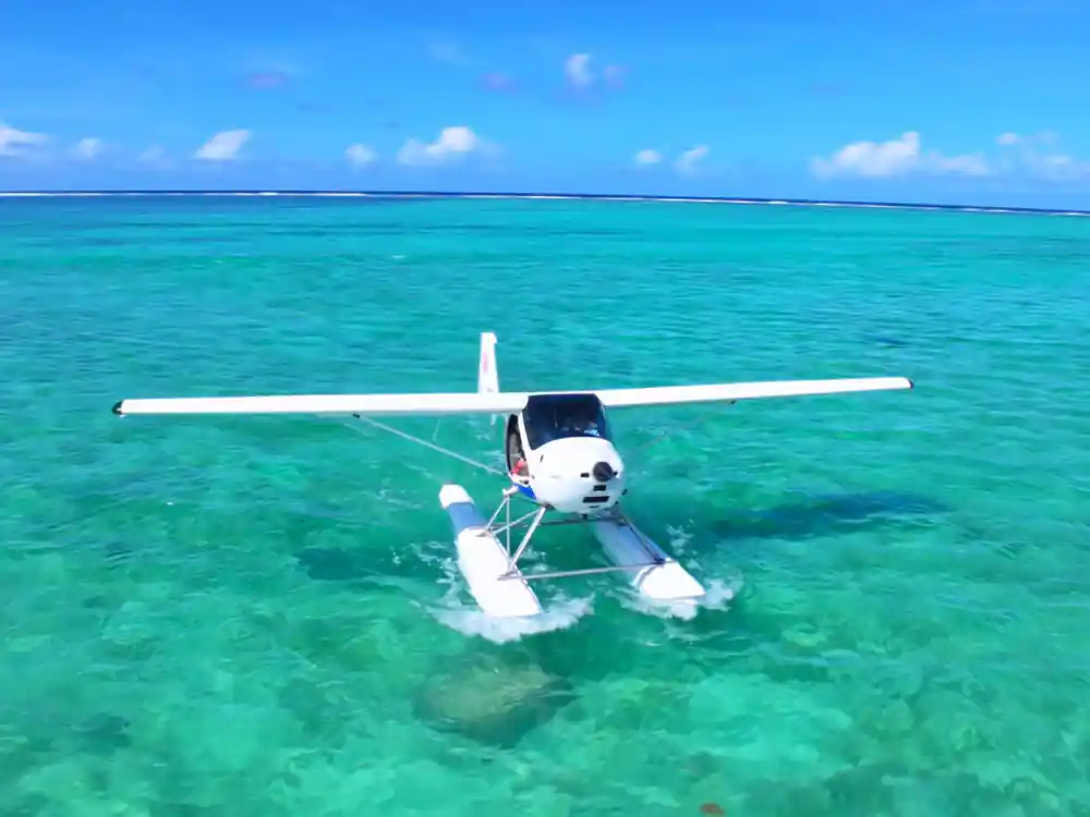
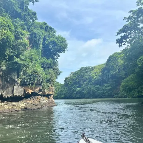
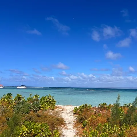
Ile aux Cerfs is a picturesque island spread over 87 hectares of untouched land off the east coast of Mauritius. It is famous for its white sandy beaches, its turquoise lagoons and for the wide range of restaurants , water sports and land activities on offer.
Is the Seaplane Worth It?
Before You Board
What a Lagoon Actually Is
A lagoon is the shallow water caught between a coastline and the reef that stands in front of it. The reef takes the energy out of the ocean swell, so the water inside stays flat, clear and easy to swim in, and the sea floor there is a mix of pale sand, seagrass and coral rubble. That is why the water looks so still and bright while the ocean outside the reef is working hard.
A lagoon is not one uniform pool, though. It is a system of sandbanks, shallow flats, deeper channels and small patch reefs, and the tide constantly rearranges how much of it you can see and where the edges fall. Standing on the sand you get a strip of blue, a white line of surf in the distance and a lot of glare. From a few hundred feet up, the whole layout becomes legible at once.
The east coast is a good place to watch all of that fit together. The beach at Roches Noires, the quiet sand at Palmar and the long sweep at Belle Mare all face the same body of water, and the same reef line runs offshore in front of them. Drive the coast road and you are never far from it, which makes this stretch easy to picture before you ever get into a plane.
Why It Is That Colour
The colour is made by light, not by pigment. Sunlight enters shallow water, bounces off pale carbonate sand and comes back out again, and the more of it that returns, the more turquoise the surface looks from above. Where the bottom is deeper, or mixed with seagrass and rubble, less light comes back and the water reads green, grey or olive instead. Depth and the colour of the bottom do most of the work; the water itself is close to colourless.
Deeper channels cut across the flats, and beyond them the bottom simply drops away. With nothing pale down there to reflect the light, the water goes navy and then close to black at the reef edge. That hard boundary between mint green and deep blue is what makes aerial photographs of Mauritius look as if they have been edited. They have not, and the line really is that sharp.
Sediment works like a paintbrush in other places. The underwater waterfall illusion to the southwest of Mauritius, offshore of Le Morne Peninsula, is really sand and silt being drawn off the edge of the shelf and read from above as a cascade.[7] On the east coast you mostly get the clean version: bright bottom, clear water, strong colour, with the sand shifted around by tide and current rather than by a river.
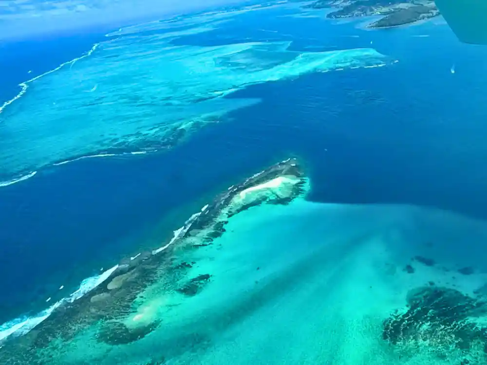
The reef line and the pale inner flats, seen from the air on the east coast.
What You Can Pick Out From the Air
Once you are airborne, the landmarks resolve quickly. Ile aux Cerfs is an island of 87 hectares off the east coast, with white sandy beaches, turquoise lagoons, restaurants and both water sports and land activities.[8] Its whole outline fits into a single glance, and the shallow water around it is unmistakably bright next to the darker channels that thread past it.
Further south, the Grande-Rivière-Sud-Est waterfall lies at the source of the river and can be reached either by sea or by crossing the sugarcane fields.[9] From above it appears as a green cleft in the cane, with the river running down to meet the lagoon. It makes a handy marker for working out which way you are facing when the pilot points something out.
Lion Mountain is hard to miss, because its silhouette looks like a lion lying down, and it is the only witness left of the Battle of Grand Port.[10] On the coast, Belle Mare is the beach where the One&Only Le Saint Géran resort is set.[11] Both are useful anchors, the sort of thing you can pick out again on the drive back along the coast road.
The Reef Line
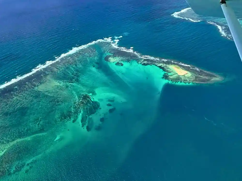
The reef line is the most useful thing to learn to read from the air. It shows up as a band of white where the swell breaks, then a sudden change of colour on the outside where the seabed falls away into deep water. Everything inside that band is lagoon; everything outside it is open ocean, and the two behave in completely different ways.
Gaps in the reef are the passes, and boats use them to get in and out. From above they look like dark tongues slicing through the white, and the water in them is deeper, cooler and faster moving than the water on either side. The reef itself is alive, which is one reason the sand inside it stays so pale and so clean.
The Roches Noires lagoon is a tidy place to study the pattern. First a shallow inner flat, then scattered coral heads, then the break and the deep blue beyond. Seen from a seaplane or a helicopter, none of it looks fragile at that scale. It looks like a large, legible piece of geology that happens to be full of fish, and at beach level the same coast feels rougher underfoot, with rock and rubble mixed into the sand.
from US$254
The East Coast Mauritius Private Scenic Seaplane Tour takes in the lagoon at Belle Mare and is rated 4.22 from 128 reviews.[1]
How It Changes Through the Day
Early morning gives the calmest air and the lowest sun, so the water keeps something of its night-time depth and the sandbanks throw long shadows. Later the light climbs, the surface begins to glitter, and the colour flattens into a bright, even sheet. If you have a choice of slots and you care about pictures, aim for the first one of the day.
By afternoon the trade wind usually fills in along this coast, putting texture on the surface and a slight chop on the water. Colour still reads well from the air, but the see-through quality drops, and the reef line loses some of its crispness. Late light brings the contrast back and turns the breaking surf gold.
Clouds matter as much as the hour. A single cumulus can throw a dark patch onto a bright lagoon and make it look like a reef or a deep hole, and a high overcast turns the whole scene grey. Pilots and photographers wait for the gaps between the clouds; passengers usually just enjoy the show and take the picture anyway.
What Ruins It, and When to Go Instead
Heavy rain is the main spoiler. Runoff from the cane fields and the roads carries silt into the lagoon, and for a day or two the turquoise goes milky brown. The reef is still there and the fish are still there, but the postcard colour is not, and no amount of editing will bring it back. Rain here tends to arrive in short, heavy bursts, so ask locally what the water is doing before you write off the week.
Wind is the second. A strong trade stirs the shallows and lifts sand into suspension, and the whole picture goes hazy, even when the sky is blue. The official cyclone season runs from 15 November to 15 May, so if you are planning a flight in those months, leave some slack in your itinerary.[5]
The third is the crowd, and it is the easiest to manage. Weekdays outside the school holidays, an early start and a stretch of beach away from the main car parks all help. If the water is murky when you arrive, wait a day and come back, because a shallow lagoon clears itself quickly once the wind drops and the runoff stops.
Flying the East Coast: Roches Noires, Palmar and Belle Mare
The East Coast Mauritius Private Scenic Seaplane Tour lasts 15 - 30 minutes and starts from US$254. It is a private group, it is rated 4.22 from 128 reviews, and one of its stops is Belle Mare.[1] Short as it is, the flight covers a long run of coast, and you are back on the sand quickly.
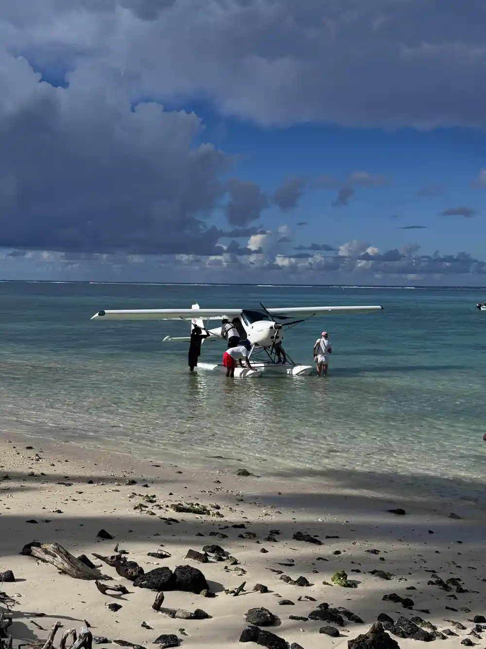
LagoonFLIGHT runs seaplane tours daily from La Prairie beach.[6] Passengers must be at least 15 years old and weigh no more than 100 kilograms.[2] Check availability to see starting times, and if you would rather stay in the air on rotor blades, a fifteen-minute helicopter ride starts at roughly 8,500 MUR per person.[12]
Back on the ground, Palmar beach, Belle Mare and Roches Noires all give you a deckchair view of the same water. You can cancel up to 24 hours in advance for a full refund, so a change in the weather does not have to cost you the day.[1] The lagoon looks good from the air, but it is not a bad place to do nothing either.
Traveller ratings on GetYourGuide
From-prices in US dollars
From-prices in US dollars from GetYourGuide listings:[1][3][4][13]
When to Fly the East Coast Lagoon
How To Book The Flight
Pick your day
Look at the wind first, then the rain. A calm, clear morning gives the cleanest colour over the lagoon.
Choose your slot
The tour runs 15 - 30 minutes and starts from US$254, and you check availability for starting times.[1]
Check who is flying
Seaplane passengers must be at least 15 years old and weigh no more than 100 kilograms.[2]
Know the meeting point
LagoonFLIGHT seaplane tours depart from La Prairie beach, and they run daily.[6]
Keep the day flexible
Free cancellation up to 24 hours in advance makes a change in the weather easy to handle.[1]
See the east coast lagoon from above
from US$254Reserve now & pay later