Worth remembering
- Ile aux Cerfs spreads over 87 hectares off the east coast of Mauritius, known for white sandy beaches, turquoise lagoons, restaurants, water sports and land activities.[1]
- The East Coast Mauritius Private Scenic Seaplane Tour lasts 15 - 30 minutes, with starting times shown when you check availability.[2]
- Seaplane passengers must be at least 15 years old and weigh no more than 100 kilograms, so check that before you book.[3]
- Fares on the East Coast Mauritius Private Scenic Seaplane Tour start from US$254, and the tour is rated 4.22 from 128 reviews.[2]
- The seaplane tour is listed with a stop at Belle Mare, the east coast beach where the One&Only Le Saint Geran resort is set.[2][4]
- Top choice East Coast Seaplane Tour from US$254 Duration15 - 30 minutes[2]Rated4.22 from 128 reviews[2]GroupPrivate group[2]CancellationFree cancellation up to 24 hours[2] Check availability
- South East Speedboat Day from US$144 Duration7 hours[5]Rated4.77 from 452 reviews[5]GroupPrivate or small groups[5]CancellationFree cancellation up to 24 hours[5] See this tour
- Scenic Helicopter Flight from US$860 Duration3 hours[6]Rated4.60 from 98 reviews[6]GroupLimited to 6 participants[6]CancellationFree cancellation up to 24 hours[6] See this tour
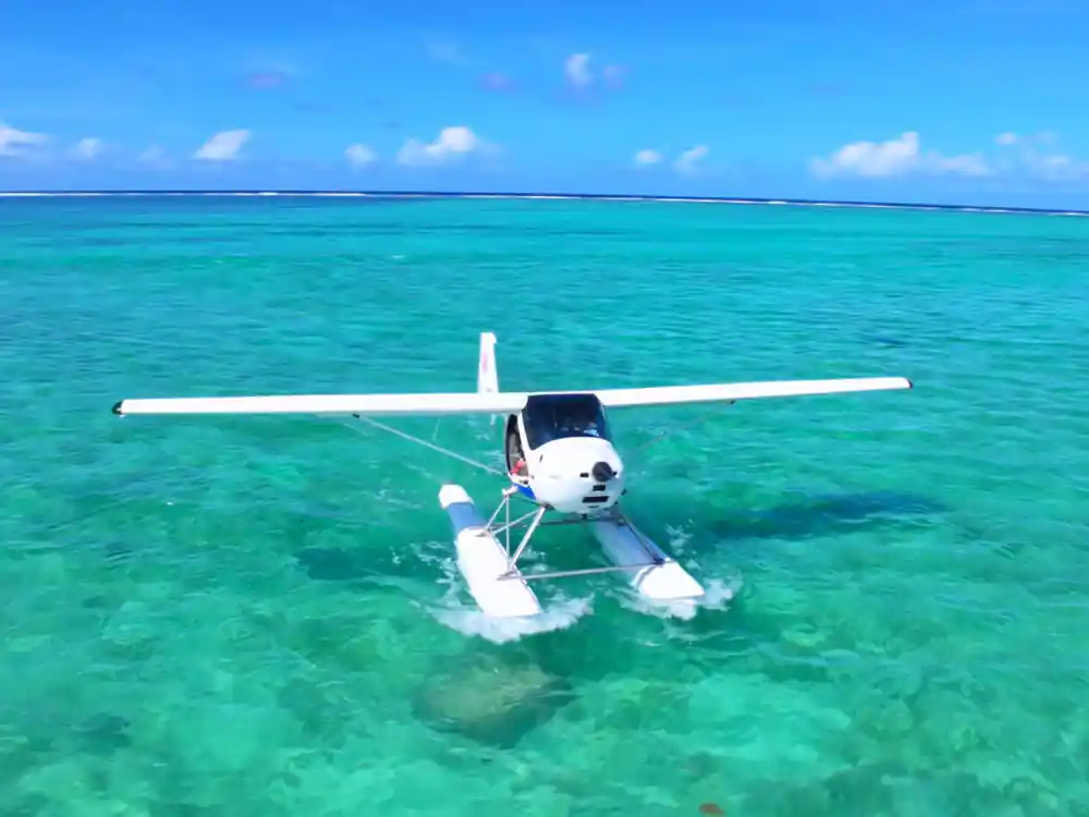
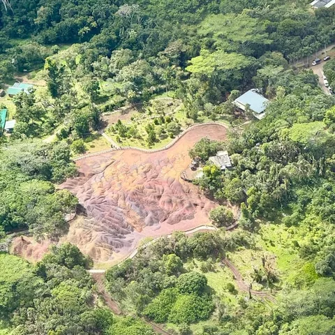
Ile aux Cerfs is a picturesque island spread over 87 hectares of untouched land off the east coast of Mauritius.
Is the seaplane view of Ile aux Cerfs worth it?
Flight essentials
What Ile aux Cerfs is
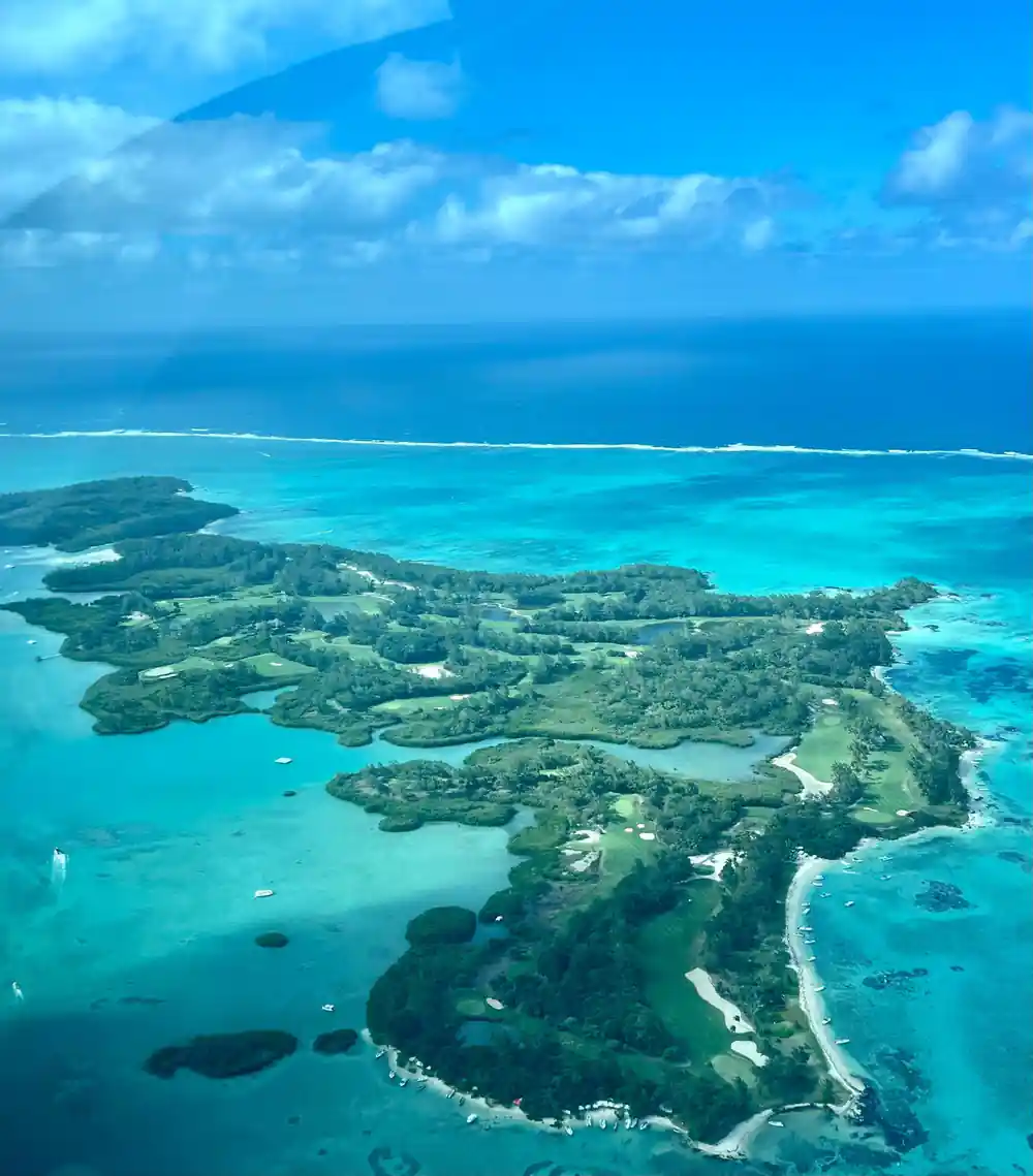
Ile aux Cerfs is the low green island that almost every east coast boat trip aims at. It covers 87 hectares off the east coast of Mauritius, and it is known for white sandy beaches, turquoise lagoons, restaurants, water sports and land activities.[1] From a boat deck you catch the beach, a band of trees and the shallow water sliding past underneath. From a seaplane you see the shape all of it makes: the pale rim, the green middle, the darker water beyond the reef.
That difference is the point of flying. At eye level the island is a place you land on and walk around. From above it becomes Ile aux Cerfs country in miniature: a green interior, a white coastline, a blue moat, and the reef holding the whole thing in place. The Ile aux Cerfs beach Mauritius visitors picture is only the nearest part of that image, the part you can reach with your feet.
Most people meet the island the same way, on a boat, with engine noise and salt drying on their arms and a cold drink wedged somewhere safe. That is a lovely way to arrive. What it does not give you is the outline, the sense that this green mass is sitting on a shallow shelf with a reef around it like a low wall. Flying over before or after a boat day keeps both pictures in your head at once, and they sit together rather well.
What altitude actually adds
Height does three simple things. It flattens the foreground, so the beach you stood on this morning becomes a thin white line. It opens the water, so you can see the reef edge, the sand channels and the seagrass patches that boats pass over without anyone noticing. And it turns the island into a shape rather than a set of stops, which is a very different way to understand a place you may already have visited.
The east coast seaplane tour lasts 15 - 30 minutes.[2] That is enough to take in the lagoon structure, the island and the line where shallow water gives way to blue. Then you are back on the water with a mental map of the coast you will spend the rest of the day inside. The rhythm is simple: a short hop, a wide view, and a landing on the same water you left, only now familiar.
Light matters more than you might expect. In the middle of the day the water below looks bright and almost flat, the colours at their most vivid and the shadows short and hard. Earlier or later, the sun comes in at an angle, the surface catches small glints, and the reef edge reads more clearly because of the way the light rakes across it. Either way you are looking at the same lagoon, only lit differently, and the shape underneath stays the same.
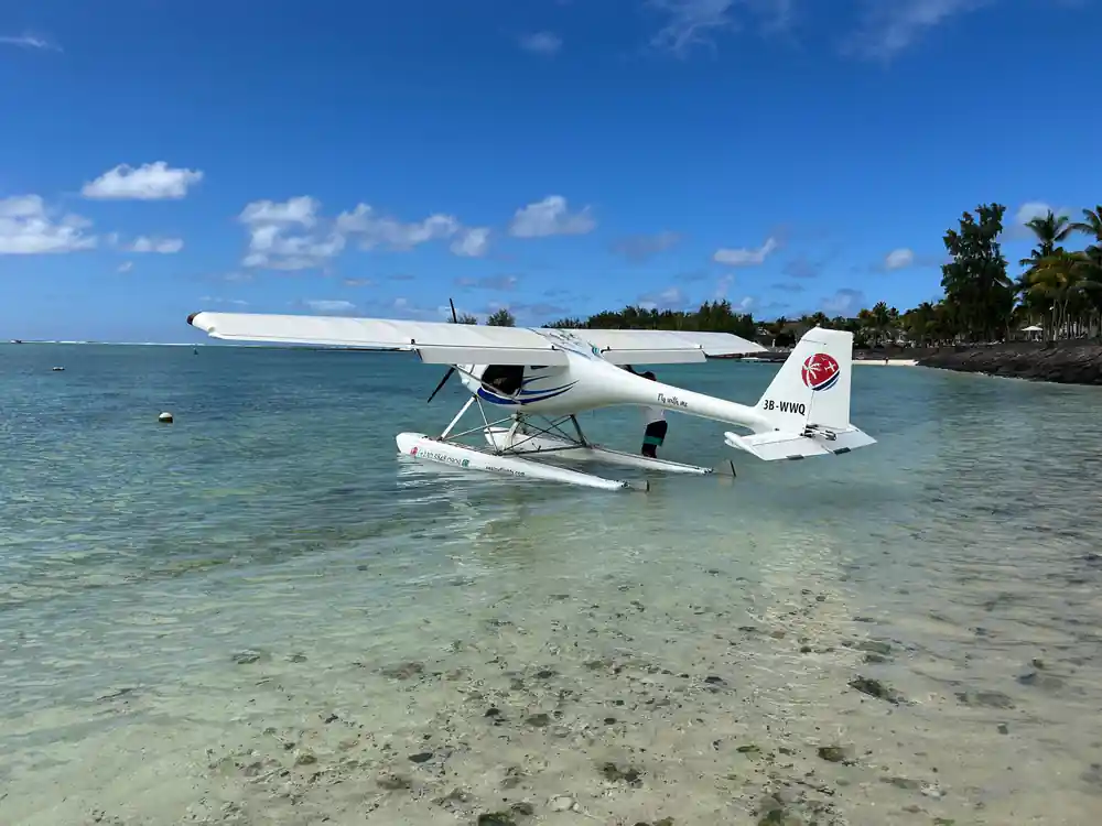
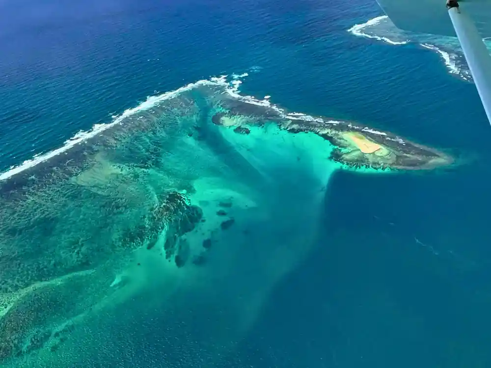
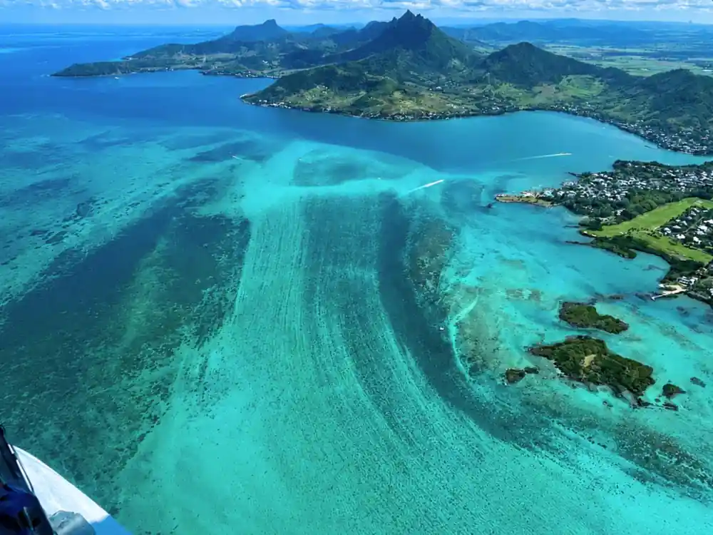
Pale lagoon, dark channel: the east coast reef seen from above.
The golf course and the reef, read from above
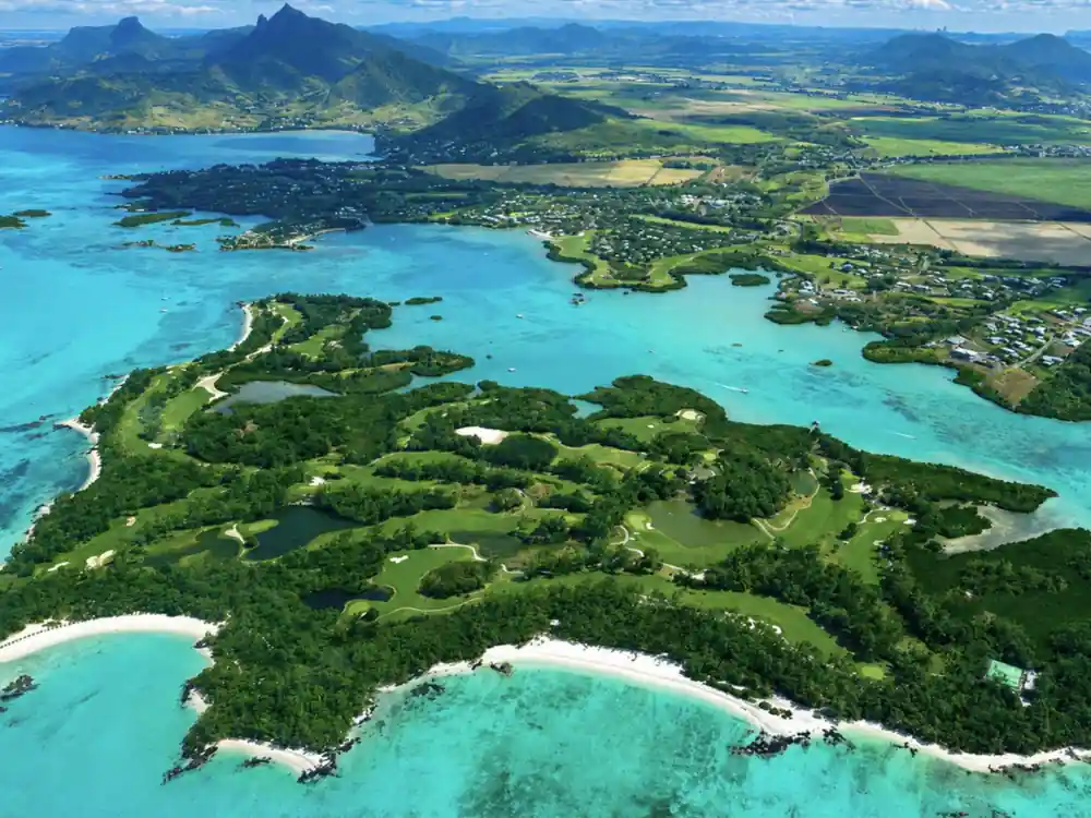
Two features dominate the frame from the air. The first is the green interior, where the golf fairways and tree lines make a pattern that is invisible from the beach. The second is the reef, a pale ring that holds the lagoon in place and shows, from height, exactly where the calm water stops and the open ocean begins. On a clear day the contrast between those two is the sharpest thing in the window.
The reef also shapes the way the lagoon looks. Sand and fine sediment settle inside it, sunlight bounces off the shallow bottom, and the colour runs through several shades of green before it turns deep blue at the passes. You do not need to understand any of that to enjoy the flight, but seeing the whole system at once makes the lagoon suddenly legible, which is the real pleasure of looking down.
Keep an eye on the green edges too. Where the trees meet the sand, the colour changes from bright leaf to pale trunk to white beach in a short distance, and that thin band is the seam between land and water. From above it looks narrow and orderly, a line of green holding a line of white, with the lagoon stretched out beyond it and the reef closing the far side of the frame.
Where Ile aux Cerfs sits in the flight
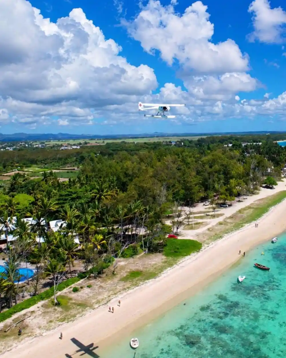
The east coast seaplane tour is listed with a stop at Belle Mare,[2] the long pale beach on the same eastern shore. Belle Mare is the beach where the One&Only Le Saint Geran resort is set.[4] The flight and the island share a coastline: the same reef, the same lagoon colours, the same weather arriving off the water, and the same shallow shelf under both.
For anyone staying on the east coast, that lines up neatly with a day on the lagoon. You see your own stretch of coast from an angle a hotel balcony never gives you, and you see how quickly the water changes character once the reef is behind you. If you are based on another part of the island, the flight still works as an introduction: a quick orientation before you commit a whole day to the eastern lagoon.
It is worth finding Belle Mare on a map before you fly, just to place it. It lies on the same stretch of coast as the island, so the beach in the seaplane window is likely to be a beach you already know from a sun lounger and a paperback. Seeing it from height, with the reef offshore and the lagoon spread out between, is a different way to hold a place you thought you had already read.
from US$254
Fares on the East Coast Mauritius Private Scenic Seaplane Tour start from US$254 for a private flight of 15 - 30 minutes over the east coast.[2]
The lagoon it sits in
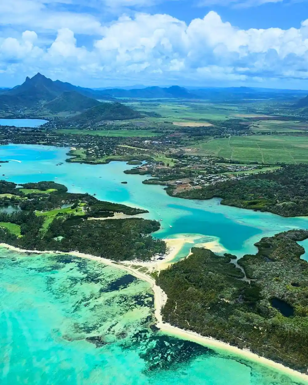
Ile aux Cerfs sits inside a lagoon that behaves like a shallow pool across most of its width, then drops into channels and passes that carry boats and current. From the air those channels read as dark lines drawn through pale water. Close to the island the bottom is mostly sand and seagrass, so the water comes up bright green, and the green fades to blue wherever the depth increases.
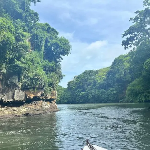
Further along the same coast, the Grande-Riviere-Sud-Est waterfall lies at the source of the river and can be reached either by sea or by crossing the sugarcane fields.[9] The speedboat day that visits Ile aux Cerfs also stops there.[5] From a seaplane the river mouth and its green valley show how much fresh water arrives in a lagoon that otherwise looks like pure ocean, and how far the sand plumes spread.
Fresh water also changes the colour of the sea. Where the river reaches the lagoon the water runs greener and cloudier for a while before the current and the tide pull it apart, and the boats crossing it leave thin white lines behind them. Watching those lines fade from the air is one of the quiet pleasures of the flight: small signs of movement on water that looks, from height, almost completely still.
Is it worth seeing from above if you are going anyway
If a boat trip to Ile aux Cerfs is already on your list, the flight is not a replacement for it. Boats show you the island slowly and at eye level; the seaplane shows you the lagoon, the reef and the island's position in a single pass. Doing both in one trip gives you the map and the place rather than only one of the two, and the two views sharpen each other.
It also suits travellers who like their sightseeing compact. The seaplane tour is private, with English and French listed, and free cancellation up to 24 hours in advance.[2] It slots into a morning before the boat leaves, or into the last afternoon of a stay, without demanding a full day of its own. Think of it as the view that explains the day you are about to have from the water.
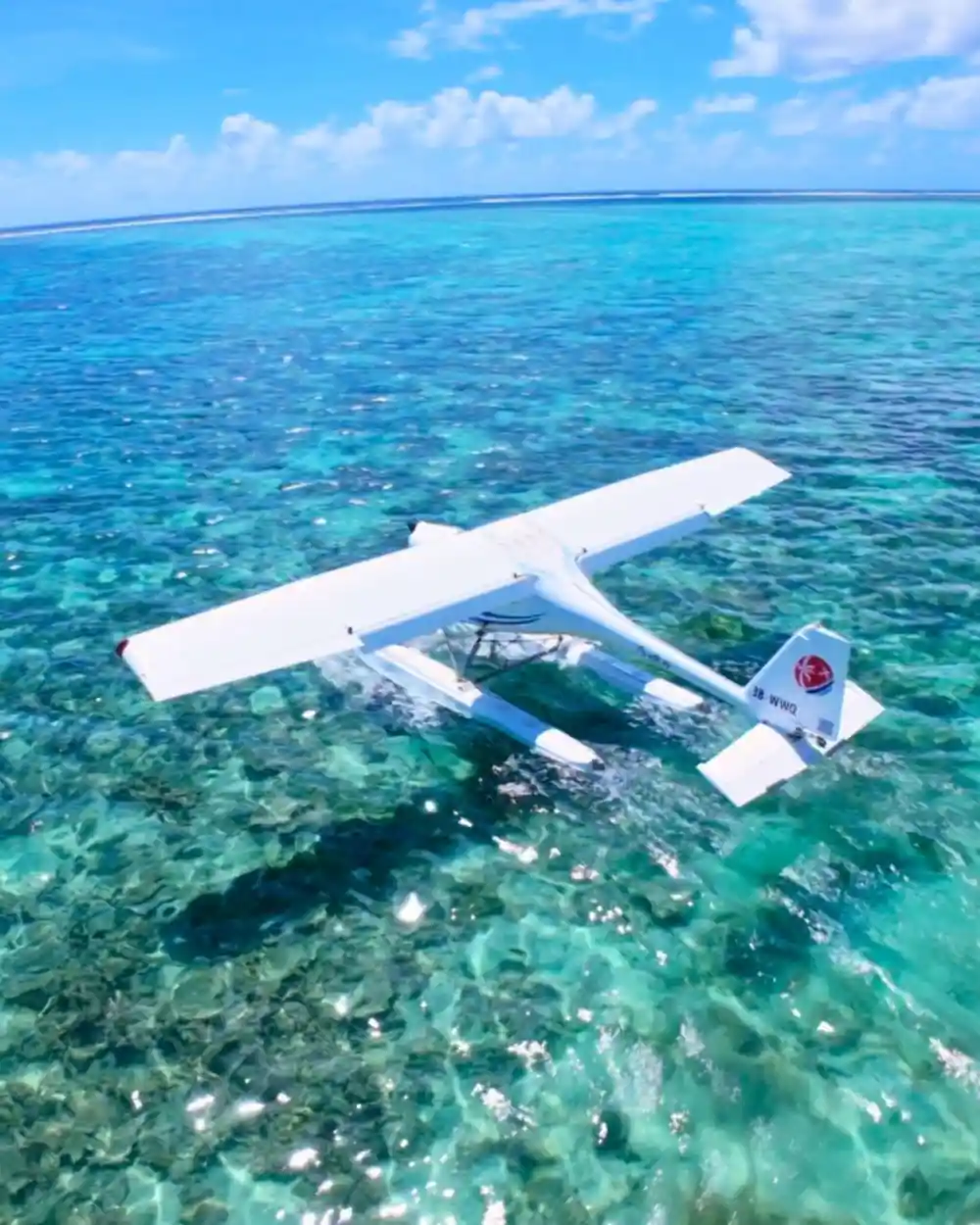
Nothing about the flight asks much of you. You turn up, listen to a short briefing, and go; the window does the rest. If small aircraft make you nervous, a lagoon takeoff is a gentler beginning than a runway climb, and the view gives the eye something to settle on almost as soon as the water drops away below the floats.
Directions, boats and how the day fits together
Ile aux Cerfs directions start with the east coast, because the island lies off that shore.[1] On the crossing you pass small speedboats, sailing cats and the Ile aux Cerfs bateau pirate cruises that turn a transfer into a party. At the end of that kind of day, an Ile aux Cerfs bar stop and a slow lunch are the usual punctuation, and there are restaurants on the island to sit down in.[1]
Timing deserves a thought before you book anything. The official cyclone season in Mauritius runs from 15 November to 15 May,[7] and flying in a small seaplane is weather dependent in a way that a hotel day is not. Passenger limits matter too: seaplane passengers must be at least 15 years old and weigh no more than 100 kilograms.[3] Sort those two things out and the rest is easy. Reach the east coast, get out on the water, and look up.
Ratings for seaplane, boat and helicopter tours
Every rating shown comes from a GetYourGuide listing.[2][5][6][10]
What a flight or boat day costs
US dollar from-prices for tour listings, per adult.[2][5][6][10]
When to book, when to fly
How to see it from the air
Check the limits
Seaplane passengers must be at least 15 years old and weigh no more than 100 kilograms.[3]
Choose the east coast flight
The East Coast Mauritius Private Scenic Seaplane Tour is listed with a stop at Belle Mare and lasts 15 - 30 minutes.[2]
Book with free cancellation
Free cancellation applies up to 24 hours in advance for a full refund, and you can reserve now and pay later.[2]
Add a lagoon day
The speedboat tour to Ile aux Cerfs lasts 7 hours and stops at Grand River South East Waterfall.[5]
Time it around the season
The official cyclone season in Mauritius runs from 15 November to 15 May.[7]
See the east coast lagoon from a seaplane seat
from US$254Reserve now & pay later