Worth remembering
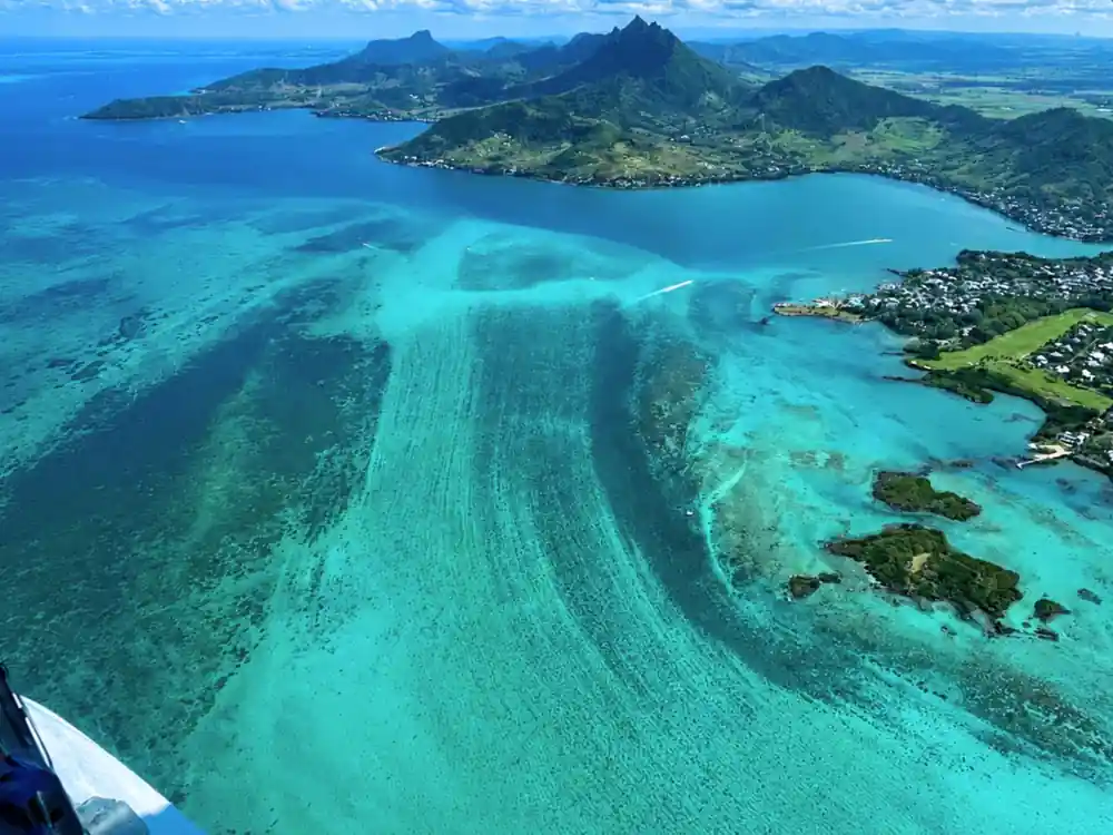
- A fan of drifting sediment off the shelf edge that reads like a waterfall from height. The real one sits southwest of the island, offshore of Le Morne Peninsula.[1]
- East Coast Mauritius Private Scenic Seaplane Tour: private group, 15 - 30 minutes, driver speaking English and French, listed stop Belle Mare, from US$254.[2]
- Seaplane passengers must be at least 15 years old and weigh no more than 100 kilograms, which rules out younger children.[3]
- Reserve now and pay later, with free cancellation up to 24 hours in advance for a full refund.[2]
- The official cyclone season in Mauritius runs from 15 November to 15 May, the window most trips are planned around.[4]
- Top choice Seaplane, east coast from US$254 Duration15 - 30 minutes[2]Rating4.22 from 128 reviews[2]LanguagesDriver: English, French[2]CancellationFree cancellation up to 24 hours[2] Check availability
- Speedboat and waterfall from US$144 Duration7 hours[5]Rating4.77 from 452 reviews[5]LanguagesLive tour guide: English, French[5]CancellationFree cancellation up to 24 hours[5] See this tour
- Catamaran, north isles from US$81 Duration8 hours[6]Rating4.70 from 2,082 reviews[6]LanguagesDriver: English, French[6]CancellationFree cancellation up to 24 hours[6] See this tour
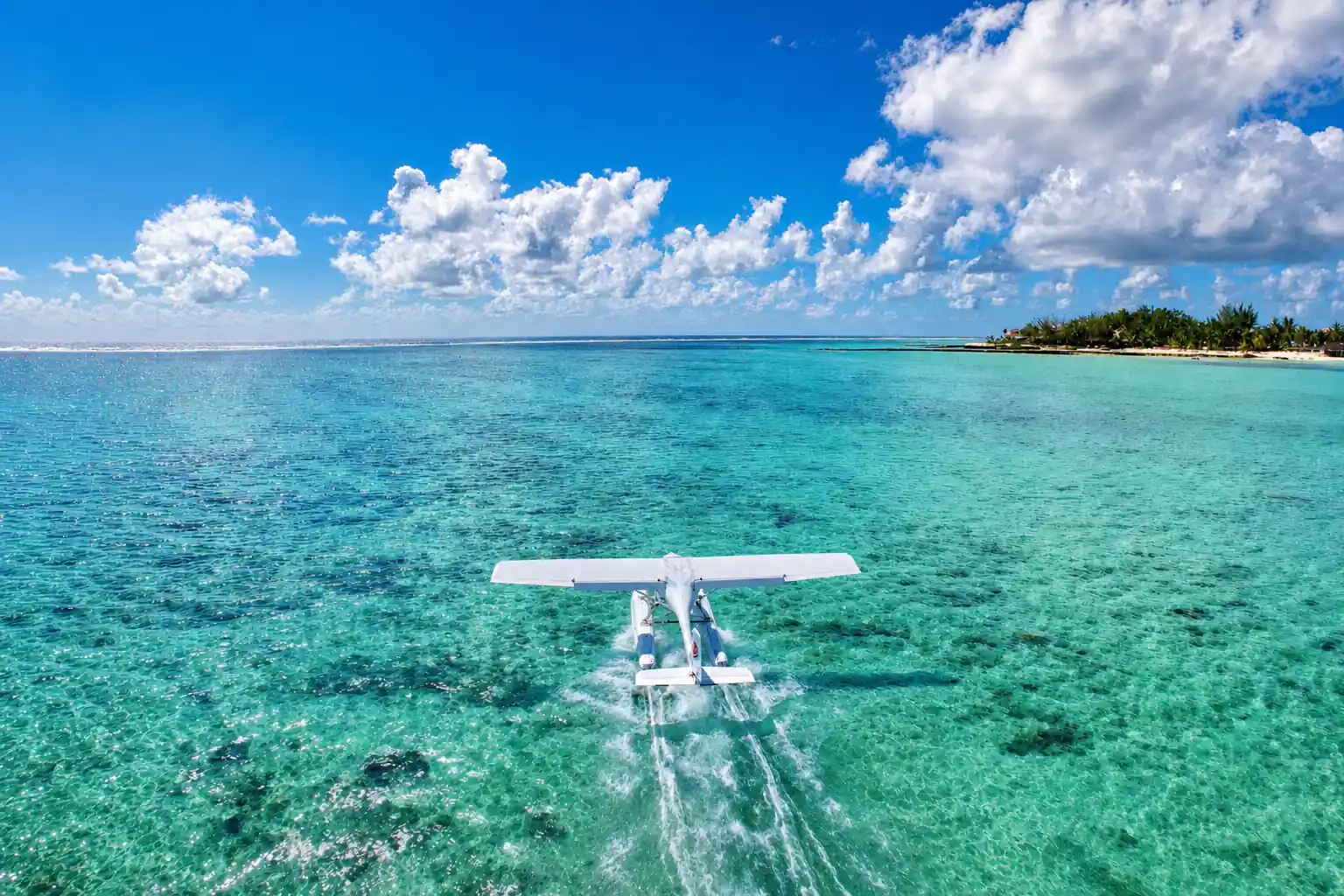
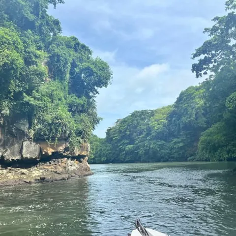
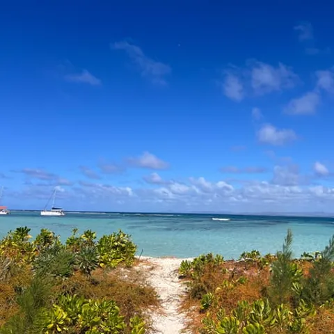
Explore Mauritius from a unique perspective with our daily seaplane tours departing from La Prairie beach.
Is the east coast seaplane flight worth it?
Things to check
On the day
- Start times show when you check availability, so arrive with time to spare[2]
- Camera on a wrist strap, phone in a zipped pocket
- Sunglasses and a cap you can hold on to in the airflow
- Have the booking confirmation ready on your phone
What is actually happening out there
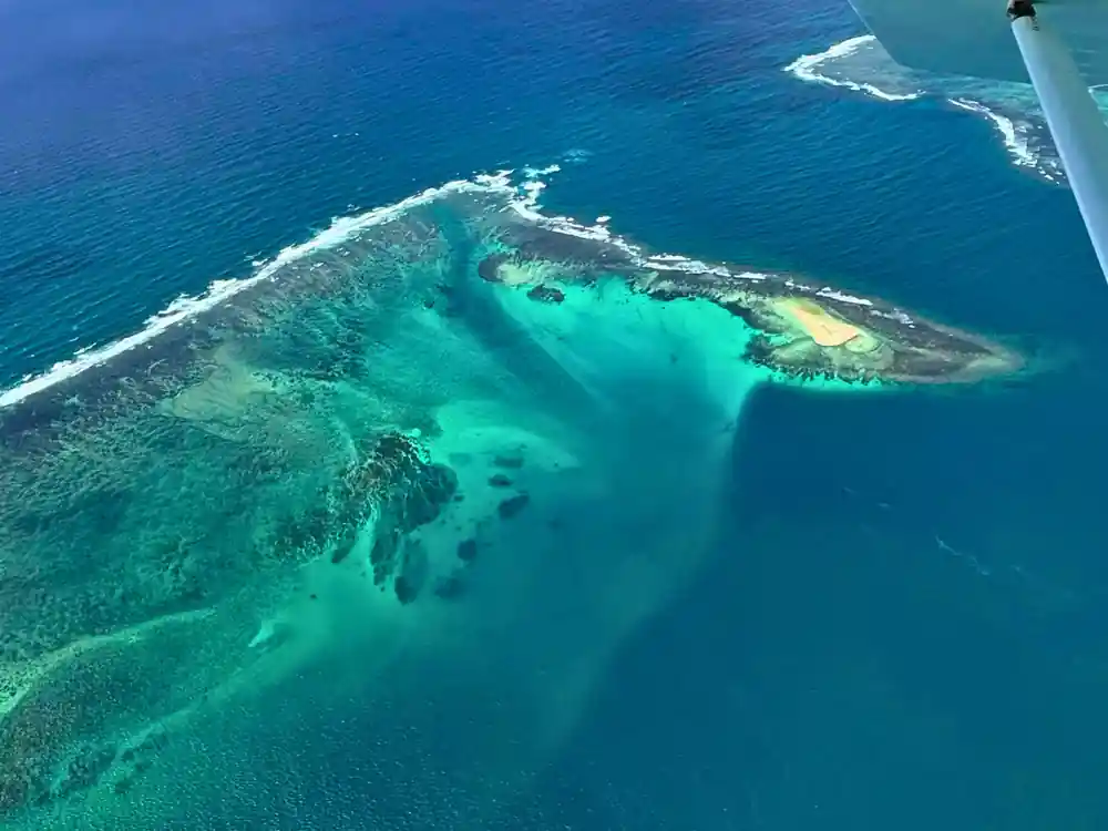
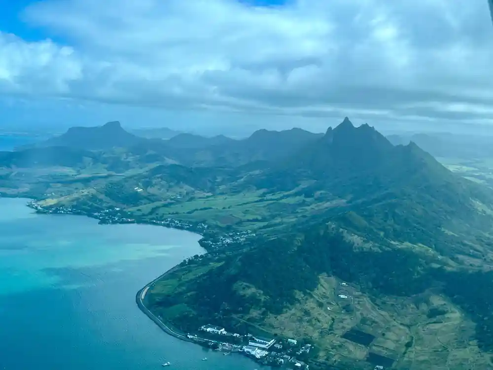
From the air, the sea off the island's south west corner looks as if a plug has been pulled. A broad sheet of pale sand streams outwards, splits into ribbons and fades into deep blue, in the same shape water takes when it pours over an edge. The underwater waterfall illusion in Mauritius sits to the southwest of the island, offshore of Le Morne Peninsula.[1] From altitude it reads as a cataract. At sea level there is only a change of colour.
Nothing in that picture is falling. The shelf around the island ends in a steep drop, and currents push sand, silt and shell fragments along the edge and over it. Seen from height, the drifting sediment draws the outline of a waterfall, and the eye completes the rest. The shelf edge, the deep water beyond it and the pale shallows behind it are the three ingredients, and the pattern shifts with the tide and the strength of the current.
Why a boat cannot show you the illusion
From a deck you are inside the picture. The water under the hull is turquoise or navy, the horizon sits flat and low, and the shapes that make the illusion stretch across kilometres of open sea, far wider than any view from a boat. A boat can take you right over the sediment fan and you will still see only blue under the keel. The effect resolves when you are high enough to take in the whole shelf edge at once.
A seaplane offers something a helicopter does not: it can sit on the water. That gives you a low, on-the-surface view of the lagoon and the coastline before and after the airborne pass. If you plan to shoot, keep the strap on your wrist and the lens short; through a window, a long lens mostly magnifies the glass.
The same is true of any aerial view. Reef passes, sandbanks and drop-offs are shapes, and shapes only read from a distance. Low over the water the lagoon is all colour and no pattern; climb higher and the whole structure appears at once.
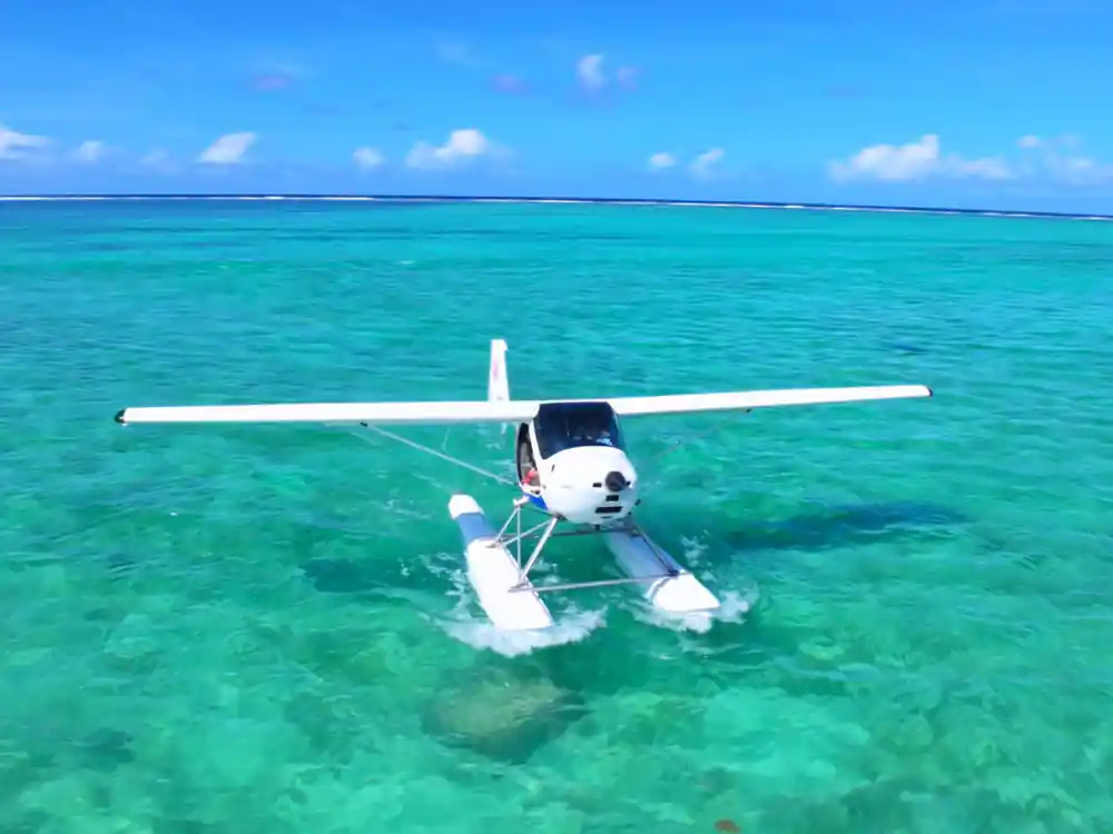
Pale sand, dark seagrass and the navy line of the channel, all in one frame.
The eastern one, and the famous one
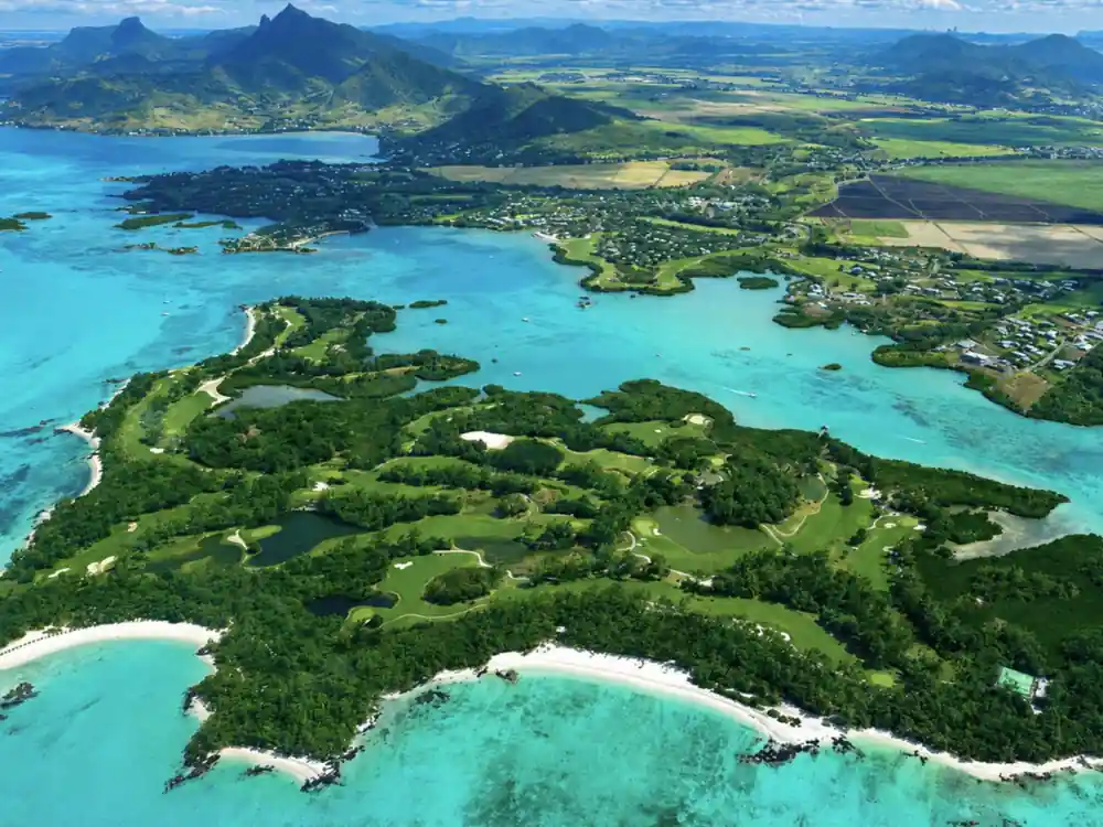
There is a mix-up in the way people talk about this. The underwater waterfall illusion is a south west feature, offshore of Le Morne Peninsula.[1] The east coast, where the seaplane tours in this part of the island operate, looks quite different: a wide shallow lagoon, a reef line that takes the swell, passes cut through the reef, and river mouths that push silt into the sea after rain.
Both sides are worth flying and they show different things. Ile aux Cerfs, a picturesque island spread over 87 hectares off the east coast, is known for white sandy beaches, turquoise lagoons, restaurants, water sports and land activities.[7] LagoonFLIGHT's daily seaplane tours in Mauritius depart from La Prairie beach.[8] A Mauritius seaplane underwater waterfall route and an east coast lagoon flight are two different trips, so ask which one a listing covers before you pay.
If you are weighing a Mauritius seaplane tour underwater waterfall combination against a straightforward lagoon flight, the deciding question is where the aircraft is based and which route it flies. Listings publish their stops, and the stops tell you the coastline you will see.[2]
What the east coast seaplane flight shows
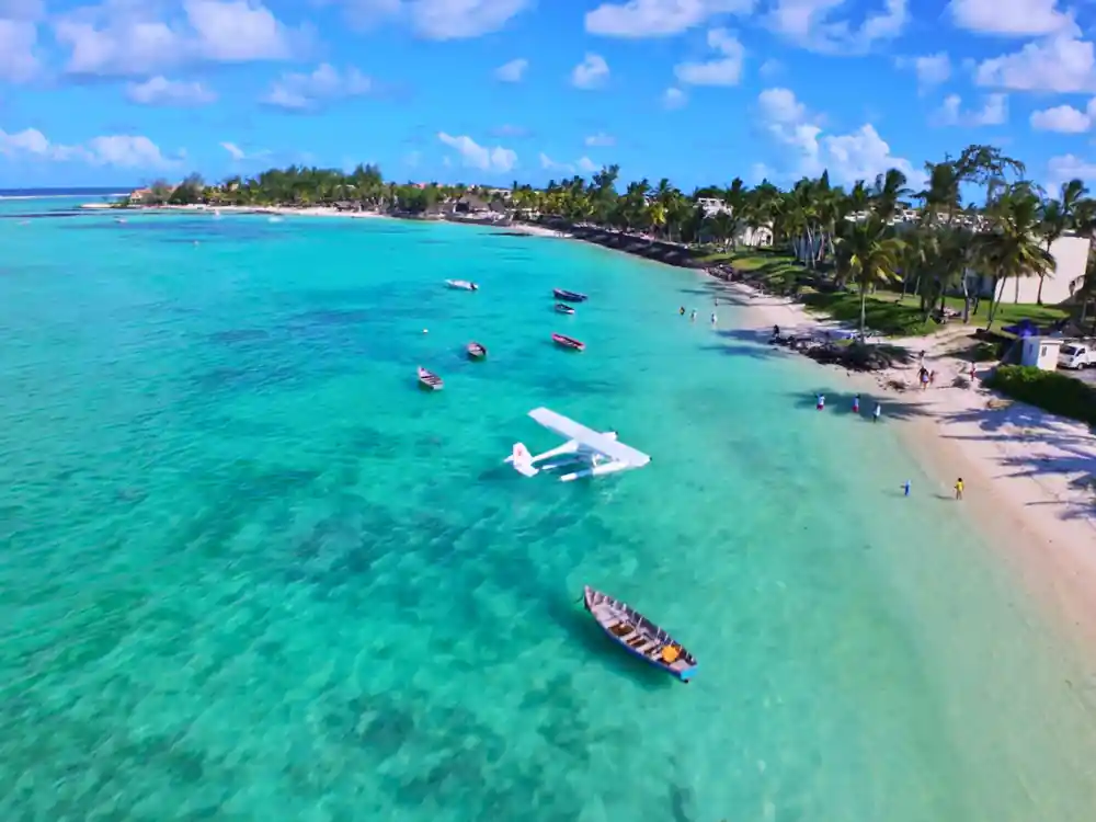
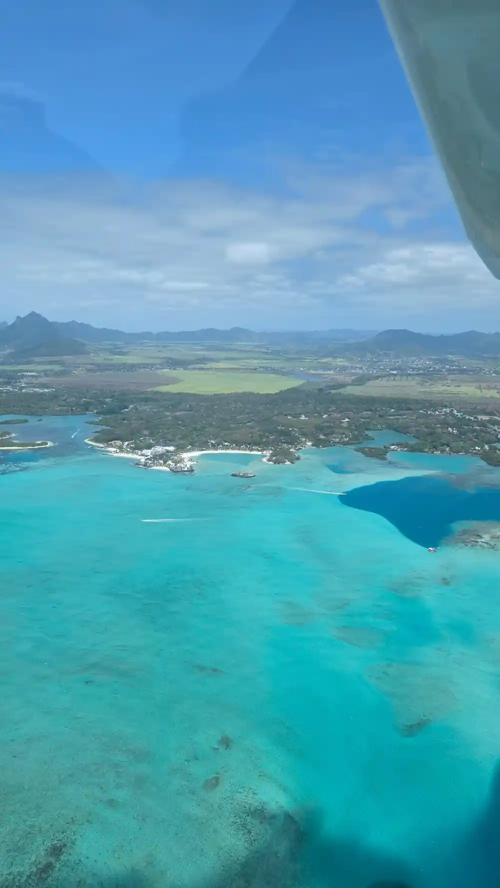
The East Coast Mauritius Private Scenic Seaplane Tour is a private group flight of 15 - 30 minutes, with a driver who speaks English and French, and its listed stop is Belle Mare.[2] Once you are up, the lagoon opens out: pale sandbanks, darker patches of coral and seagrass, boat wakes, the white line where the reef meets the swell, then the deep blue beyond.
Belle Mare is a beach where the One&Only Le Saint Géran resort is set.[9] From the air you see the gardens, the palm belt and the long curve of sand sitting between the lagoon and the fields behind. The flight is short and it goes quickly. Decide before take-off whether you want to shoot or simply look, and tell the pilot if there is one thing you would like to see twice.
The east coast lagoon is shallow for a long way out, and that is the source of its colour: pale sand under clear water, dark seagrass beds, and the sudden navy of the channel beyond the reef. That contrast is the whole show from the air, and it changes as the sun moves and the tide fills and empties.
from US$254
A private group seaplane flight over the east coast lagoon, 15 - 30 minutes, listed stop Belle Mare.[2]
Getting a look at it: timings and limits
Seaplane passengers must be at least 15 years old and weigh no more than 100 kilograms.[3] Check that before you get attached to the idea. This tour is a private group, start times show when you check availability, and you can reserve now and pay later.[2] Free cancellation runs up to 24 hours in advance for a full refund.[2]
If you would rather stay at sea level, the Grande-Rivière-Sud-Est waterfall lies at the source of the river and is accessible either by sea or by traversing the lush sugarcane fields.[10] The full-day speedboat tour lists Grand River South East Waterfall among its stops.[5] A seaplane covers ground a boat cannot, and a boat reaches places a floatplane will not moor, so the two sit well in one trip.
Photographers often ask about reflections. On a small floatplane, an open window or a high-wing cabin gives the cleanest shot, and a polarising filter helps cut glare off the lagoon. Ask before boarding what the crew allows.
Prices, comparisons and how to book
The seaplane tour starts from US$254.[2] For scale, the full-day speedboat run to Ile aux Cerfs starts from US$144,[5] the northern isles catamaran cruise from US$81,[6] and the scenic helicopter flight with hotel transfers from US$860.[11] A fifteen-minute helicopter ride in Mauritius starts at roughly 8,500 MUR per person.[12] The underwater waterfall Mauritius seaplane price question usually comes down to air time, and on this flight there is not much of it.
Ratings help too. The seaplane tour is rated 4.22 from 128 reviews, with Guide at 4.3 and Value for money at 4.4.[2] The speedboat day is rated 4.77 from 452 reviews,[5] and the catamaran 4.70 from 2,082 reviews.[6] Book early in your stay and keep a spare morning free in case the weather turns.
Two practical notes. Booking pages show start times when you check availability, so lock a date and then look at the times on offer.[2] And if you want the illusion itself in the frame, look at a flight or a drive in the south west; the east coast route is built around the lagoon and the reef.
When to fly over the east coast
The official cyclone season in Mauritius runs from 15 November to 15 May.[4] That is the window the island plans around, and it is worth checking before you lock in dates. Whatever the month, an early slot usually gives softer light and calmer air than the middle of the afternoon, and the lagoon keeps its colour instead of flattening into glare.
Pack as if you are going out on a boat without getting wet. Shoes you can step out of, a cap you can hold on to, sunglasses, a wrist strap on the camera and a zip pocket for the phone. Keep the day loose. A short scenic flight is easy to move, and the pictures come out better when nobody is watching the clock.
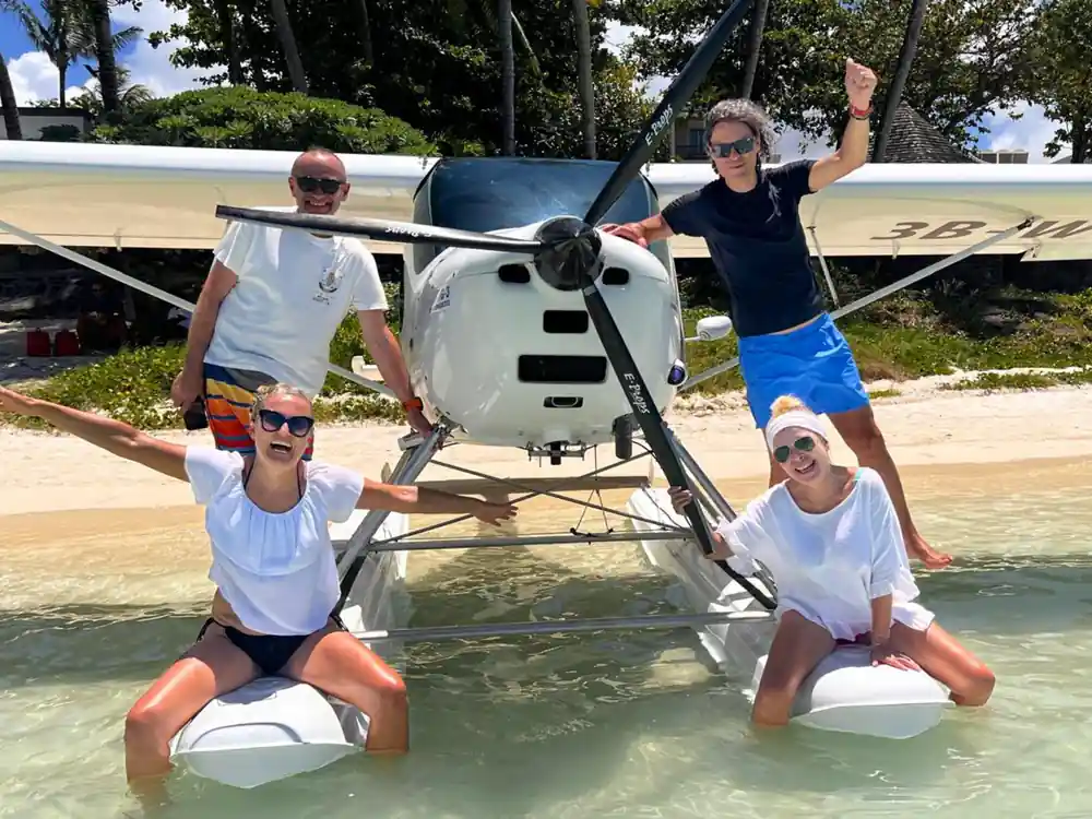
One more thing worth knowing: seaplanes board from the water, often at a beach or a jetty. Wear something you do not mind splashing, and keep bags soft and small so they stow easily in a tight cabin.
From-prices across Mauritius air and sea tours
From-prices by tour type
All amounts are US dollar from-prices from the tour listings cited.[2][5][6][11] Where a listing gives no separate child rate, the adult from-price is repeated.
When to plan your flight
How to see it from the air
Choose your coast
The underwater waterfall illusion sits offshore of Le Morne Peninsula in the south west, while these seaplane flights work the east coast lagoon.[1]
Check the limits
Seaplane passengers must be at least 15 years old and weigh no more than 100 kilograms.[3]
Fix your dates
The official cyclone season in Mauritius runs from 15 November to 15 May, which is worth knowing before you pick a day.[4]
Book the slot
Start times show when you check availability, and cancellation is free up to 24 hours in advance.[2]
Pack light
Camera on a wrist strap, phone in a zip pocket, and a cap you can hold on to.
See the east coast lagoon from a private seaplane
from US$254Reserve now & pay later